

Vancouver Island — Rivers & Basins · Framed Canvas (30×30 cm)

Vancouver Island — Rivers & Basins · Framed Canvas (30×30 cm)
Each option is printed and framed to order at the facility nearest you. Choosing one opens that edition.
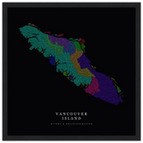
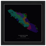
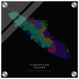
Every river on Vancouver Island, sorted into the watershed that drains it. Each basin carries its own colour and the network is drawn from HydroSHEDS flow data, so the shape is the island's actual drainage, not an illustration of it. The Pacific side breaks into dozens of short, steep basins; the Strait side runs longer and gentler. No labels, no roads, just the water.
Material. Gallery canvas on FSC-certified stretcher bars, framed and ready to hang. Printed to order.
Elevation data: Contains HydroSHEDS data. Lehner, B., Verdin, K., Jarvis, A. (2008). www.hydrosheds.org