

New Guinea — Elevation Relief · Framed Print (30×30 cm) - Framed Canvas
$150.88 CAD
Skip to product information


New Guinea — Elevation Relief · Framed Print (30×30 cm) - Framed Canvas
$150.88 CAD
Frame & paper6 options
-
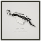 Museum matte · black metal frame
-
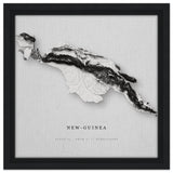 Framed canvas
-
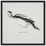 Museum matte · wooden frame
-
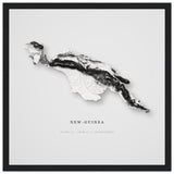 Semi-gloss · wooden frame
-
 Premium matte · metal frame
-
 Unframed · rolled in a tube
Each option is printed and framed to order at the facility nearest you. Choosing one opens that edition.
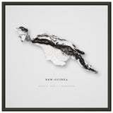
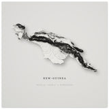
An elevation study of New Guinea, rendered from SRTM terrain data with HydroSHEDS river networks. The island carries the highest mountains between the Himalaya and the Andes, and the central cordillera reads as a single unbroken spine running the full length of it. Landform only: no labels, no borders, no roads.
Material. Gallery canvas on FSC-certified stretcher bars, framed and ready to hang. Printed to order.
Elevation data: Contains HydroSHEDS data. Lehner, B., Verdin, K., Jarvis, A. (2008). www.hydrosheds.org